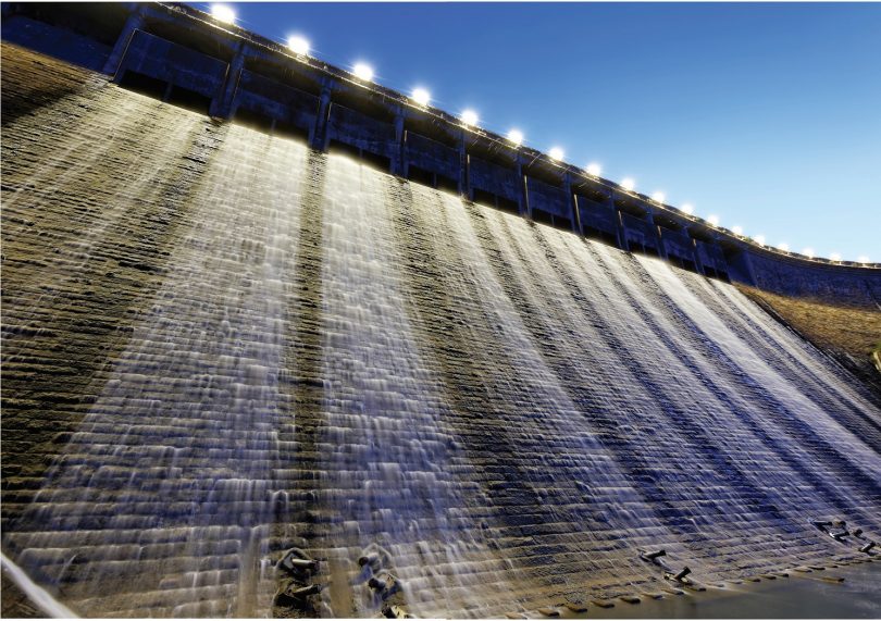
Increasingly intense and frequent torrential downpours are becoming the norm around the world, and the time for denial of climate change is over. Adapting cities to be more resilient will be the theme of the next decade, yet many cities seem to be quite ill-prepared, having both developed in high risk areas as well as implemented storm water drainage systems based on historical statistics. Business-as-usual water management approaches remain prevalent in the form of channels, underground pipes, dams, levees, gates and tunnels, resulting in flooded streets, submerged metro stations, not to mention the massive loss of natural environmental systems. Things have got to change.
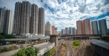
In Hong Kong, rapid urban development in the 1980s resulted in intensive development of rural areas, especially the flood plains. Storm water previously absorbed into the ground became surface flow. The expansion of built-up areas around major watercourses also reduced their flood capacities, further aggravating potential flooding problems. Further implementation of large drainage channels and village flood protection schemes was adopted along with storage and pumping in urban areas. Nowadays, the Drainage Services Department is taking new approaches to land and water management.
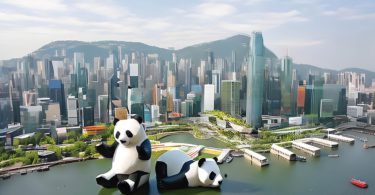
REVITALISATION OF TSUI PING RIVER
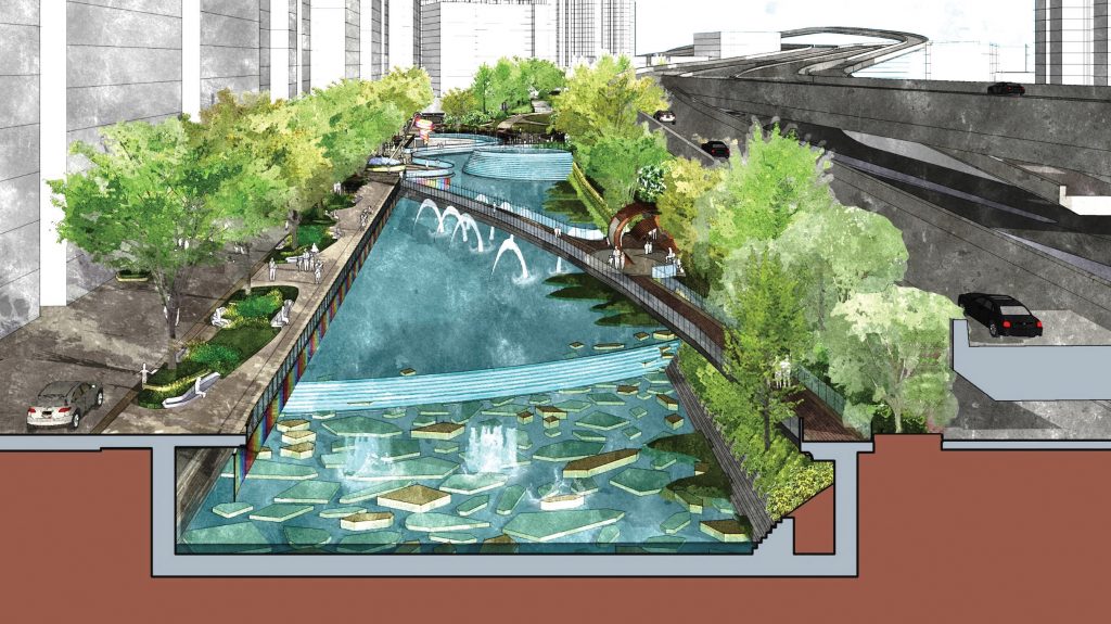
The Tsui Ping River in Kowloon East, long canalised and hidden underground, is about to undergo revitalisation under enhancement plans proposed by the Drainage Services Department and supported by Energizing Kowloon East Office (EKEO), which involves transforming a 1-kilometre section of nullah, at the heart of dense urban fabric. The project is intended to strengthen the flood protection capability of the existing watercourse whilst creating a green river channel with water scenery and amenity for the community, through the use of water, landscape, ecological and environmental enhancements. Many challenges exist, but there is an increasing understanding of the need to work with and not against nature.
THE SEOUL EXPERIENCE
What better reference could Hong Kong take as example in terms of urban water management than that as happened in Seoul. The massive increase of the urban population put pressure on land supply for housing and by the 1970s and 1980s, developers moved from the built-up areas into the undeveloped low-lying areas for site and land development. This high-risk policy, together with the development of new areas without adequate consideration for storm water facilities, resulted in repeated flooding.
The loss of natural grounds, green belt and farmland reduced the permeable green zones under which water could be recharged. The impervious surface expanded from 7.8 per cent of a city of 2.5 million in 1962, to that of 47.7 per cent of a city of 10 million by 2010. Surface water runoff from heavy rain ended up in the low-lying areas (from 11 per cent in 1962 to 52 per cent in 2010) [1]. There are 40,000 basement housing units located in the flood-prone low-lying areas of Seoul. As well as the problem of surface runoff from the massive volume of storm water flowing into these basements, the sewer pipes for basement housing are installed lower than the public sewage system. They back up and regurgitate when it rains.
As a response, after major flooding in 2010 and 2011, plans had to be established to invest heavily to change the city’s flood control measures, which had previously been focused on engineering facilities to control floods, to that of accepting the natural environmental situations and adjusting back to those, whilst being more prepared and responsive by involving the population working at the micro-scale to minimise damage.
Seoul adopted a water circulation system to restore natural water circulation and increase the amount of rainwater absorbed into the ground. The city has removed highways and opened up underground rivers (daylighting), such as the now famous Cheonggyecheon. It has installed facilities that store and utilise rainwater, improved the permeability of roads and pavements, and empowered citizens to make use of rainwater. This type of new rainwater management is critical as it eases the burden on the existing sewage system and rainwater pumping stations, and helps the city to be more prepared for urban flooding. The city has had to transform its flood control policy to go beyond simple prevention to that of embracing and integrating environmental, urban planning and transportation aspects.
HISTORICAL APPROACHES
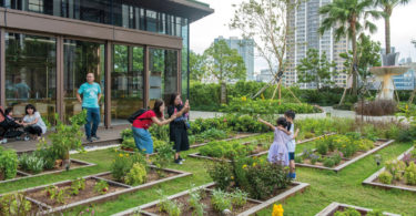
Rewind to the last great period of urbanisation in the second half of the 19th century. The new technologies of that time led to a massive leap in industrialisation, requiring a huge number of workers to come to the cities where relentless shifts required them to live close to the factories. In the United States, the population in cities such as Philadelphia, Boston and New York exploded and congestion, pollution, crime and disease were prevalent problems. Theorists at that time began developing planning models to mitigate the problems caused by rapid urban growth, and the government grew quickly to understand the need and benefits of providing healthy environments for the working populations within the cities to balance poor urban conditions. Central Park in Manhattan, Prospect Park in Brooklyn and the Emerald Necklace of parks in Boston, were at the centre of engineering solutions to control water and demonstrated Frederick Law Olmsted’s brilliant work as a ‘Landscape Architect’ in integrating engineered green space at the heart of cities as a means to manage crippling drainage issues.
In the 1870s, the Back Bay Fens in Boston were a tidal salt marsh that had become foul-smelling and prone to flooding as the city developed around them. The challenge Olmsted faced was one of sanitary engineering: to provide a storage basin for storm water and divert the sewage flowing into the Fens so that the marsh could be restored to ecological health. Olmsted reshaped the area to form a meandering stream bordered by wide reaches of low-lying marsh, creating a new landscape carefully designed to look natural [2]. He linked the Fens with the rest of an integrated park network along the Muddy River known as ‘The Emerald Necklace’, which was envisioned as a common ground that all people could come to for healthful relief from the noise, pollution and overcrowding of urban life. He designed paths and parkways to link the parks into the surrounding burgeoning neighbourhoods. Today, the Fens are the centrepiece of Boston greenspace.
WATER MANAGEMENT INTEGRATED WITH URBAN DESIGN
The Tsui Ping River project demonstrates the opportunities of using public realm infrastructure as a catalyst for positive revitalisation of the urban area. The Drainage Services Department should be commended for their leadership in attempting to push improvements in the urban realm beyond their limited scope and into that of other government departments. Successful solutions will require holistic, cross sector initiatives that bring together several important urban design principles, such as pedestrian friendliness, walkability, connectivity and place-making. This requires a project to influence beyond its boundary and needs many stakeholders to buy into it.
Taken in isolation, the project can only have limited and somewhat cosmetic benefits. Taken as a driver for wider change however, including assessing opportunities for more efficient use of space through land exchange as well as wider integration of the waterfront through enhanced and safer pedestrian connectivity, it can markedly benefit the quality of the wider area and become a focal point for local workers and residents alike, who would welcome the ability to celebrate, rather than be segregated from water.
VISUAL CONNECTIVITY
The visual quality of any upgraded landscape achieved within the river channel will be irrelevant if it cannot be visually accessed and observed at street level. The existing nullah is surrounded by a solid parapet wall, which prohibits not only access to the water margin, but also visual amenity. New proposals must seek to remove both physical and visual barriers in allowing the river to become fully integrated into the surrounding urban realm. Successful industrial waterfront urban regeneration—as seen in cities such as Copenhagen, London, Bristol, New York and Amsterdam—demonstrates that safety railings or barriers within dense and confined urban environments rarely have a place. Achieving open edge access to the rejuvenated river should be a paramount design objective.
 WATER CONNECTIVITY
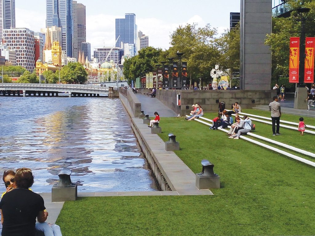
The overriding human urge to get close to water should be recognised in the urban realm by the inclusion of stepped edges, ramps and dropped terraces. Although it is understood that the width of walkways around a river are often narrow, opportunities should be grasped to provide terraced, setback edges, with lowered and programmed water access. The use of water control gates, along with upstream control measures and seasonal fluctuations, mean that safe, controlled waterside access should be implementable. The success of urban water edges—such as Cheonggyecheon River Urban Park in Seoul, Camley Street Natural Park, Kings Cross in London and Southbank in Melbourne—highlights the importance of creating social interaction places at water edges.
HINTERLAND CONNECTIVITY
The potential for the Tsui Ping River to form an important focus within the surrounding urban realm is undeniable. The riverside pedestrian walkways should be accessible from many access points linking into the adjacent street network and even deeper into surrounding residential fabric. The pedestrian realm should not be limited to pedestrian walkways for people to pass through. ‘Public spaces’ should be created where people can repose, activities can be staged and chance meetings can flourish. Waterside areas are ideal for this and further interventions that promote pedestrian priority across surrounding streets will become essential in ensuring that the project can be suitably integrated. Solutions may include level changes, table crossings, lane narrowing or surfacing changes, all of which should aim to assist clear and barrier-free connection to the river from the surrounding pedestrian network.
An urban revitalisation project does not rely on the inclusion of numerous ‘design features or programmes’ to make it successful. User connectivity, flexibility and accessibility are the key considerations whilst integrated planning and involvement across various government works and maintenance branches, in order to maximise the potential of the land resource, is the essential ingredient.
[1] https://seoulsolution.kr/en/content/seoul%E2%80%99s-flood-control-policy
[2] http://www.muddyrivermmoc.org/restoring-olmstedsvision
 BARRY WILSON
PLANNING, DESIGN & CONSTRUCTION CONSULTANT; BARRY WILSON PROJECT INITIATIVES ECA –EDINBURGH
Barry Wilson is a renowned urban designer and construction management consultant, researcher, writer, environmental advocate and public speaker. He has designed, documented and administered a wide variety of architecture, landscape, urban design, planning and environmental projects across four continents. Focused on bringing contemporary international solutions to localised problem solving, he introduces statistical research themes so as to apply ‘out-of-the-box’ thinking and challenge conventional approaches. In 2012, he received an award from the China International Urbanization Development Strategy Research Committee for his outstanding achievements.
Wilson is a UK Chartered Landscape Architect, HK Registered Landscape Architect, Professional Member of the Hong Kong Institute of Landscape Architects, Council Member of the Hong Kong Institute of Urban Design and Honorary Member of the China International Urbanization Development Strategy Committee.
He regularly undertakes the role of Guest Lecturer at the University of Hong Kong, Faculty of Architecture. He sits on both the Council and Public Affairs Committee of the Hong Kong Institute of Urban Design and is Chairman of the Shenzhen Branch of the British Chamber of Commerce Guangdong.